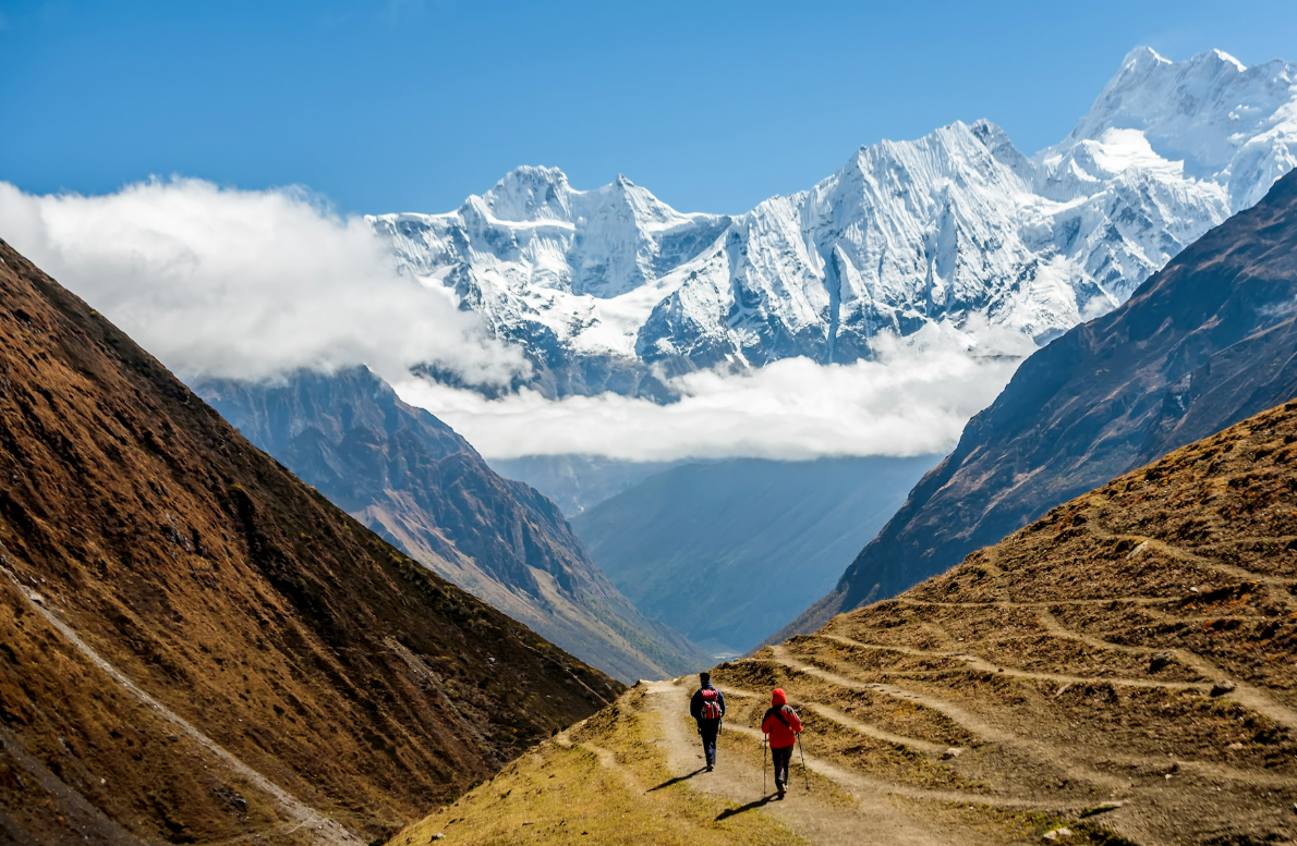
The Larkya La is 5,106 metres, and the route reaches it after more than a week of steady gain from the valley floor. That profile is the safety plan. It is not a schedule we would like to keep to if the weather cooperates; it is the reason the trek is fourteen days rather than nine.
The shape of the itinerary
The trail rises from around 900 metres in the lower Budhi Gandaki to the pass. Every Drokpo itinerary keeps the acclimatisation day at Samagaun at 3,530 metres, and on the longer journeys there is a second rest day higher up, at Samdo. Rest days are not spare days. They are the days that make the pass possible, and they are the first thing a compressed itinerary removes.
This is also why we are wary of the shortest versions of the circuit sold elsewhere. The walking is achievable in ten days for a fit person. The acclimatisation is not.
Birendra Lake, the gentlest of the Samagaun rest-day walks. Climb high, sleep low.
Descent is not a negotiation
The rule on every trek we run is that if a guide judges that someone needs to lose altitude, the group loses altitude. Nobody is asked to justify feeling unwell, and nobody is charged for a night in the wrong direction.
In practice, mild symptoms usually mean an extra night at the same altitude and a reassessment in the morning. Anything that is worsening, and any sign of unsteadiness on the feet or breathlessness at rest, means losing altitude immediately. That resolves the great majority of cases quickly. Guides carry a pulse oximeter and a first aid kit, and the decision to descend rests with the guide rather than with the trekker.
The reason we put the decision with the guide is not paternalism. It is that the early symptoms of altitude illness affect judgement, so the person least able to assess whether they should keep climbing is the person climbing.
What to tell your guide
Headache that does not clear with water and rest.
Nausea, or losing your appetite when you have been walking all day.
Sleeping badly in a way that is new, or waking short of breath.
Dizziness, unsteadiness, or feeling breathless while sitting still.
Anything you would mention to a friend at home but are minimising because you do not want to slow the group down.
The last one is the one that matters most. Groups self-censor, and the cost of mentioning a headache is a conversation, while the cost of not mentioning it can be a great deal higher.
Medication
Acetazolamide is worth discussing with a travel doctor before you leave. It does genuinely reduce the incidence of acute mountain sickness and is widely used on this route. It is not a substitute for a sensible ascent profile, and it does not make it safe to keep climbing with symptoms.
This is how we plan our treks, not medical advice. Talk to a travel doctor about your own health, your medication and your history at altitude before you book.
Insurance, which is the part people get wrong
You need travel insurance covering high-altitude trekking and helicopter evacuation, and you need to read the altitude clause specifically. A large number of standard policies cap cover at 4,000 metres, which on this route would leave you uninsured from roughly Samdo onwards, meaning for the pass and everything around it. Some exclude Nepal trekking entirely. Some cover the medical treatment but not the helicopter, which is the expensive part.
Bring the certificate with you. We check policies before departure, because the one thing worse than needing a helicopter in the Budhi Gandaki is needing one without cover. Finding a gap in Kathmandu is inconvenient. Finding one at Dharamsala is a great deal worse.
The guide requirement
Every trekker in the Manaslu restricted area must walk with a licensed guide from a registered agency. Independent trekking is not permitted here and there is no way around it. People sometimes read that as a formality to be arranged. On a trail where the nearest road is several days behind you and the weather closes the pass without much warning, it is the single largest reason the region has the safety record it does.