The Manaslu region, explained.
Where it is, how the trail runs, who lives along it, when to come and what altitude asks of you. Read this before you choose a journey.
- Manaslu
- 8,163 m · 8th highest
- Conservation area
- 1,663 sq km
- Larkya La
- 5,106 m
- Opened to trekkers
- 1991
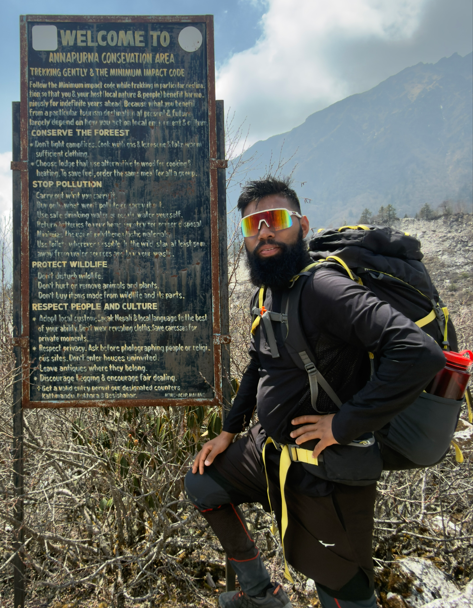
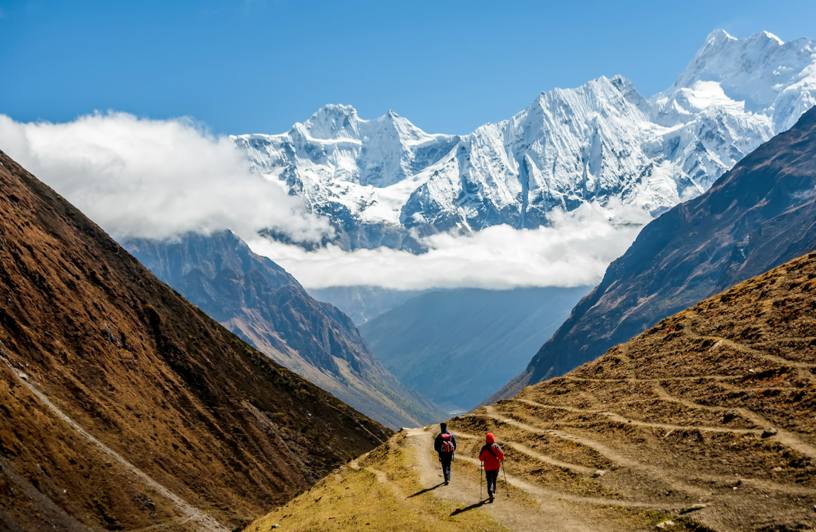
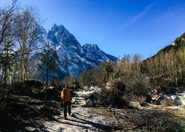
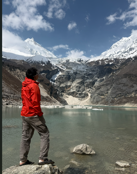
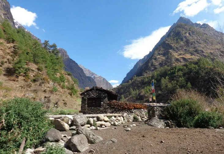
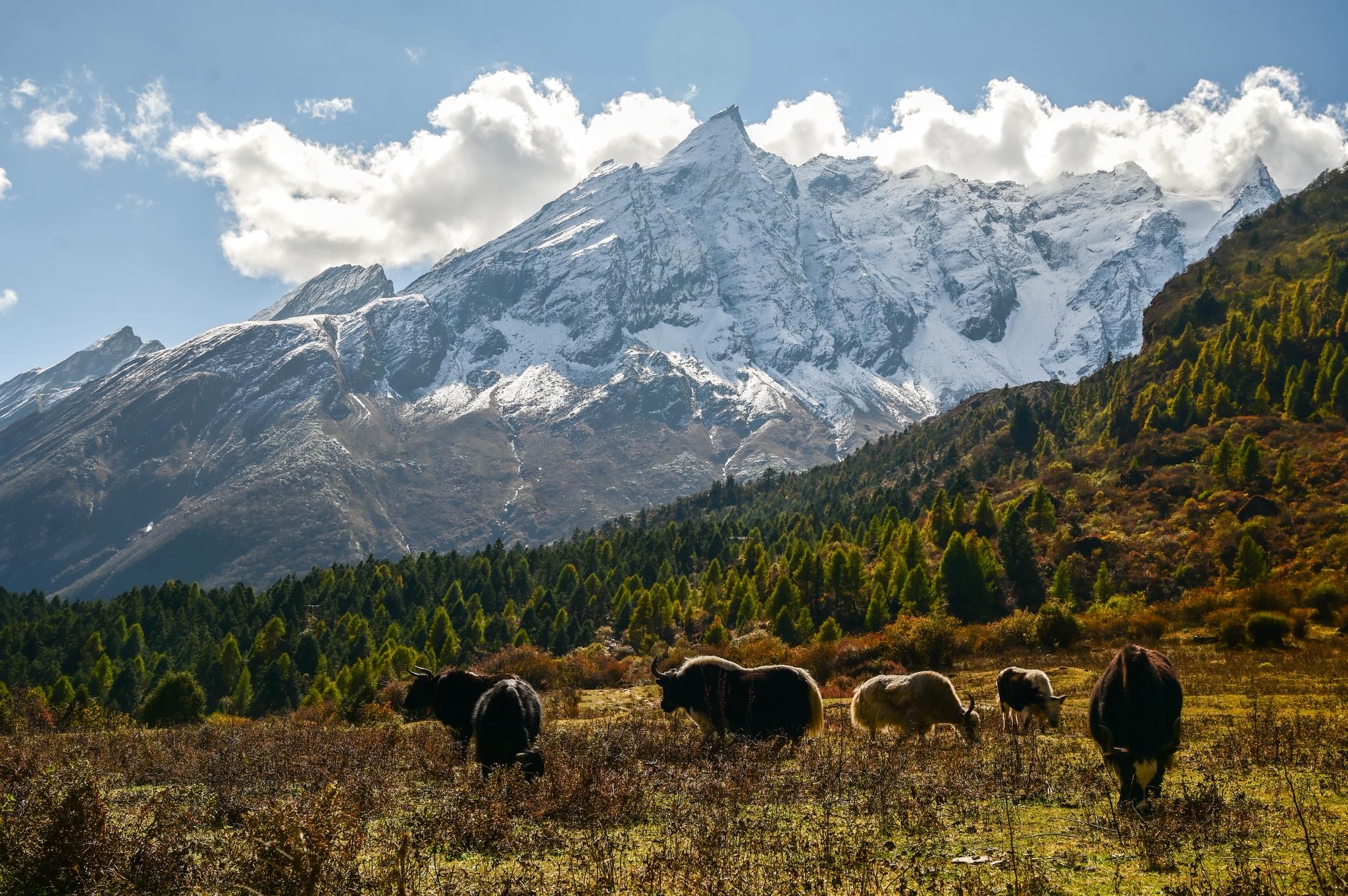
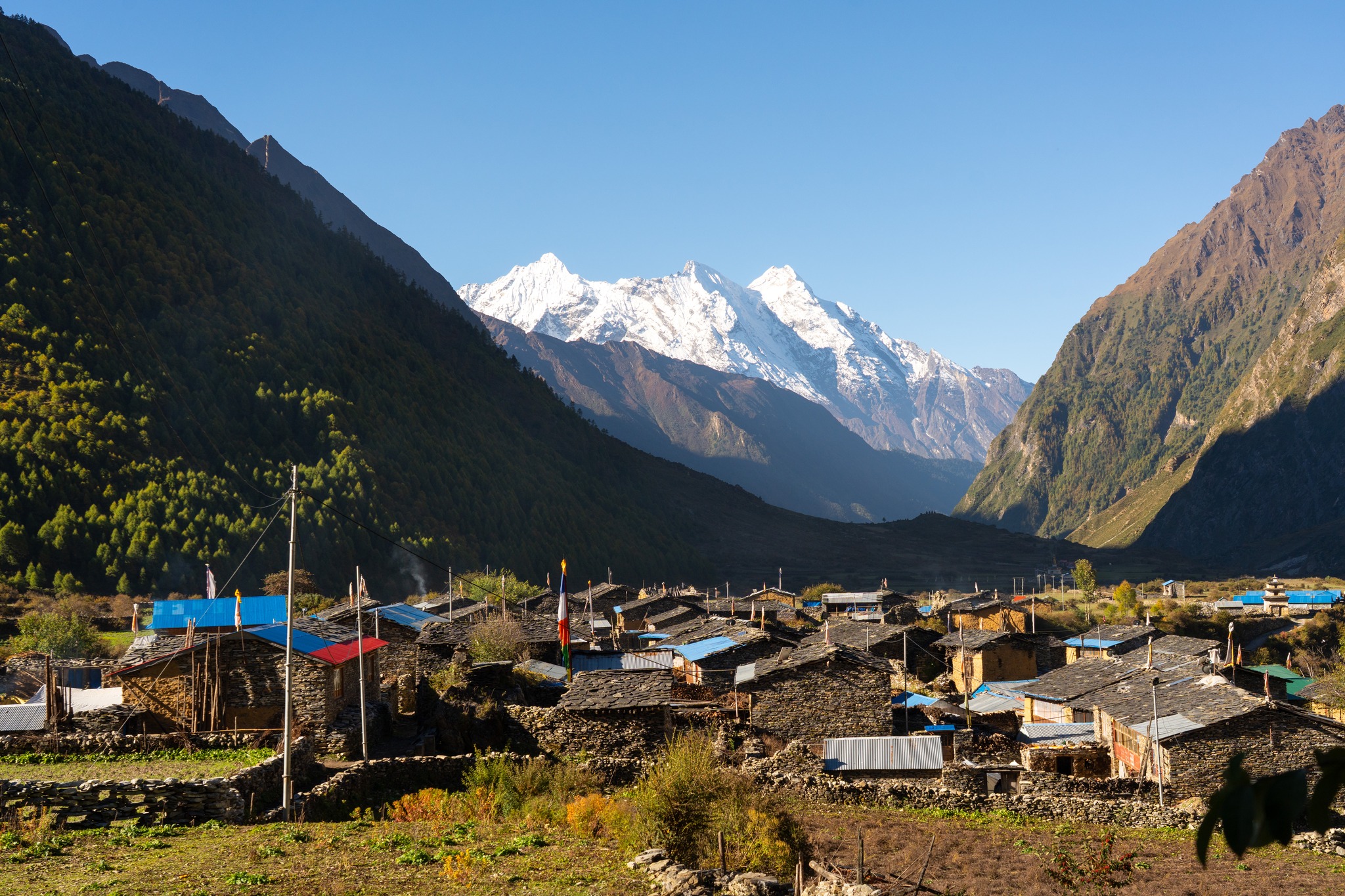
Manaslu is the eighth-highest mountain in the world and, by some distance, the least visited of Nepal's three main trekking regions. It sits in northern Gorkha district, between Annapurna to the west and the Ganesh Himal to the east, with the Tibetan border along its top edge.
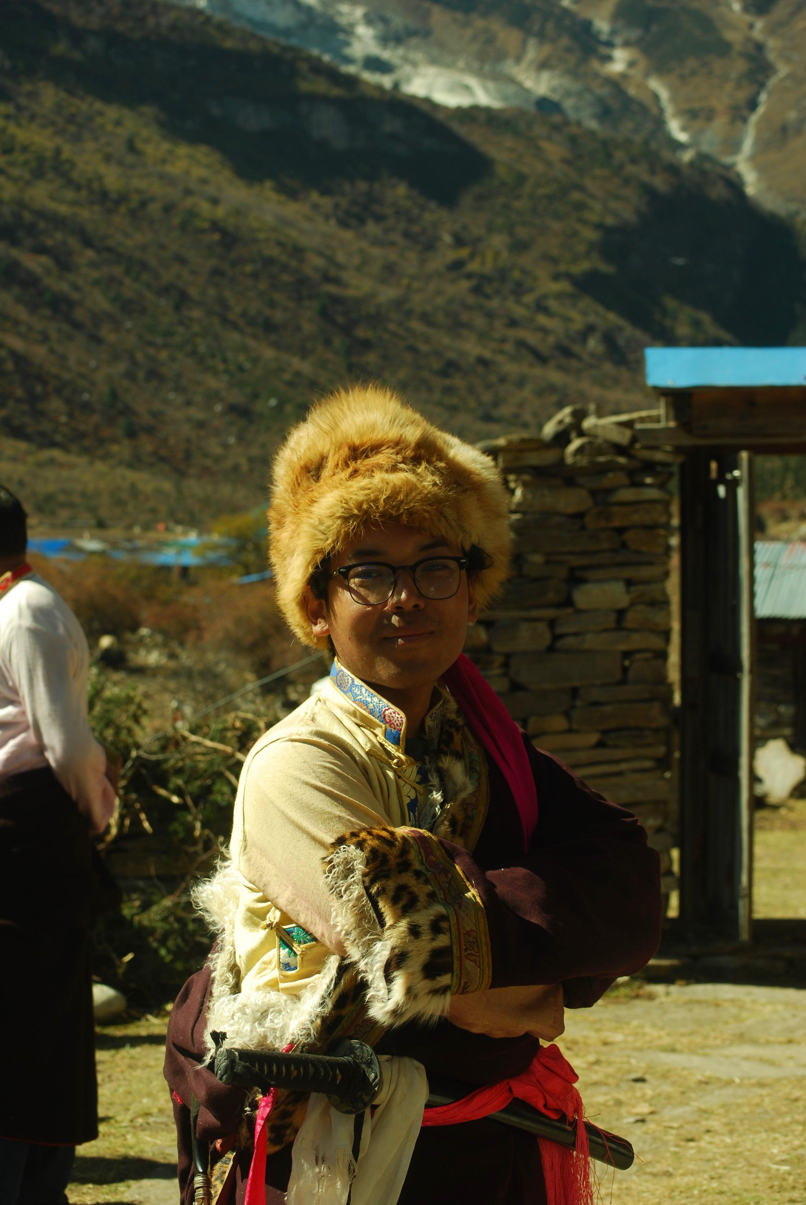
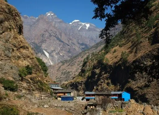
The region stayed closed to foreign trekkers until 1991 and remains a restricted area today, which means a licensed guide on every party and no independent walking. That single rule is the reason the valley still has mule trains, working monasteries and villages that are not built around trekking. It is also the reason the paperwork is more involved than for Annapurna or Everest, and worth understanding before you book.
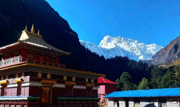
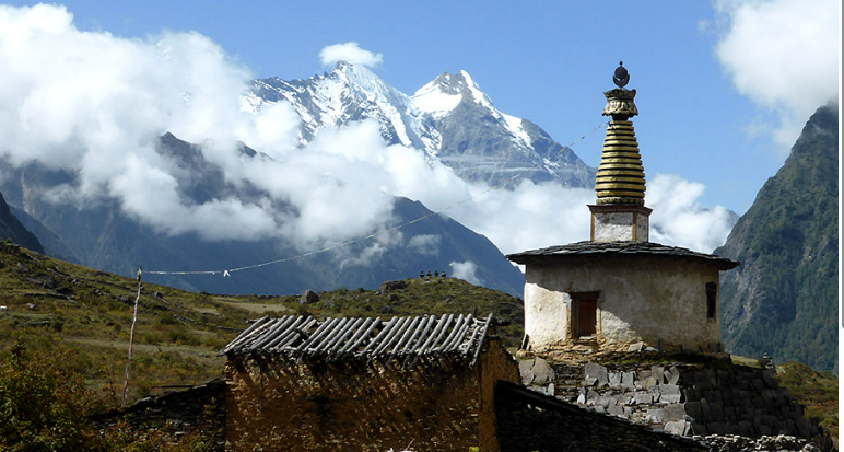
These pages cover the region rather than our journeys: the geography, the route, the people who live along it, the monasteries, the weather month by month, what the altitude actually asks of you, and how the permits and the drive from Kathmandu work. Between them they should answer most of what you need before choosing a trek.
If you would rather talk it through than read it, a journey designer will answer anything these pages do not.

Three ways to walk Manaslu.
Everything on these pages is walked on one of our journeys. Start with the three we are asked about most.

Ready to walk?
Tell us your dates and pace. A journey designer replies within two days.