Between Annapurna and Ganesh Himal.
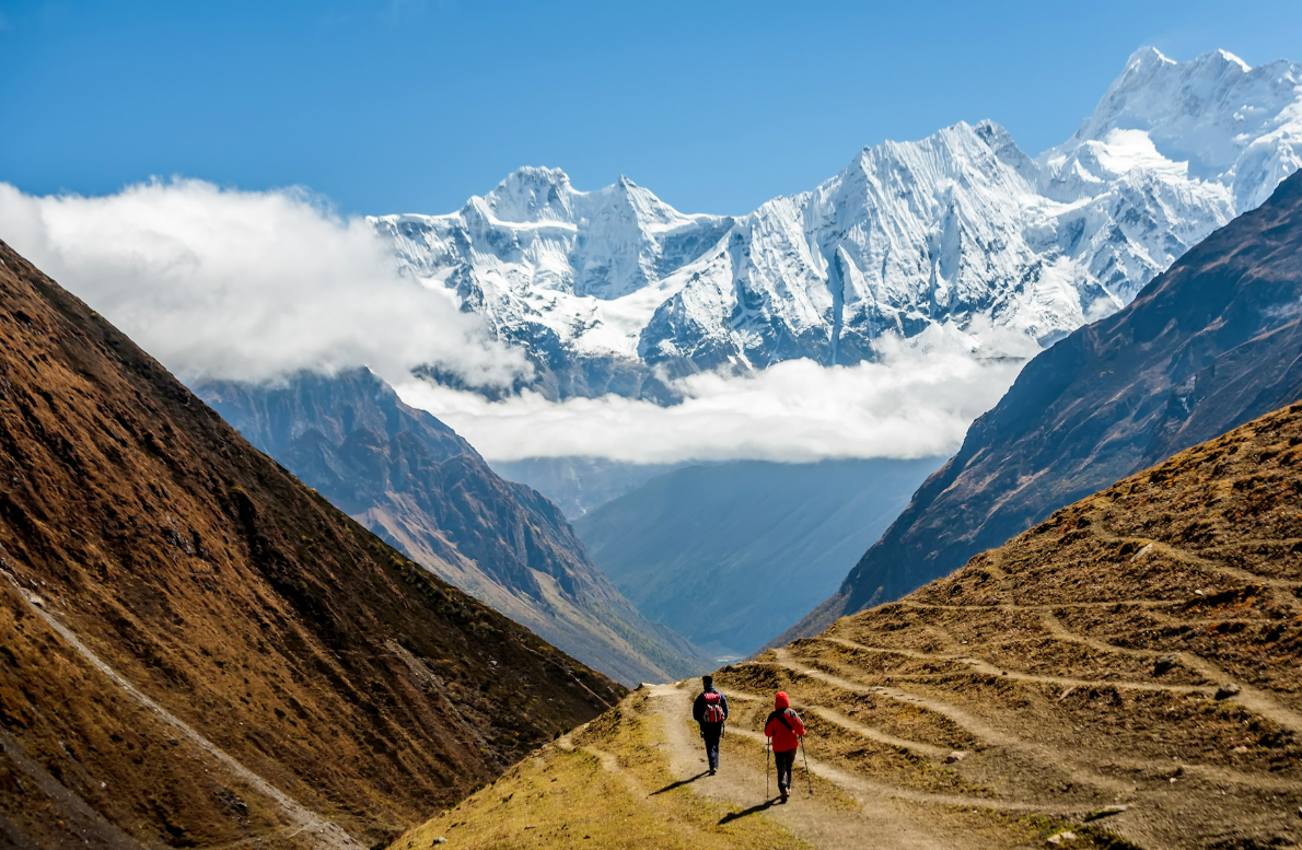
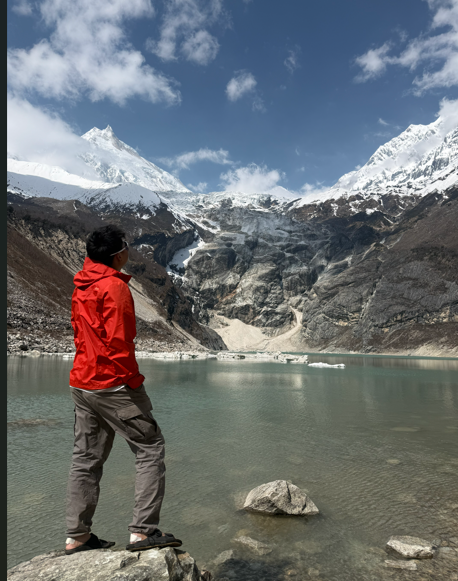
Manaslu, 8,163 m, is the eighth-highest mountain on earth. The region around it, in Gorkha district, is a conservation area and a restricted zone that has kept roads and crowds away.
- Summit
- 8,163 m
- District
- Gorkha
- Conservation area
- 1,663 sq km
- Protected since
- December 1998
The Manaslu region occupies the northern half of Gorkha district, between the Annapurna massif to the west and the Ganesh Himal to the east, running up to the Tibetan border. Everything in it is organised by one river. The Budhi Gandaki cuts north from the lowlands to the frontier, and every trail, village and field in the region sits somewhere along that line.
Manaslu itself is 8,163 metres, the eighth-highest mountain on earth. The name comes from the Sanskrit manasa, meaning mind or spirit, which is why it is often translated as the mountain of the spirit. The Nubri people who live beneath it call it Kutang. It was first climbed on 9 May 1956 by Toshio Imanishi and Gyalzen Norbu, on a Japanese expedition led by Yuko Maki, and it has been thought of as a Japanese mountain ever since in roughly the way Everest is thought of as a British one.
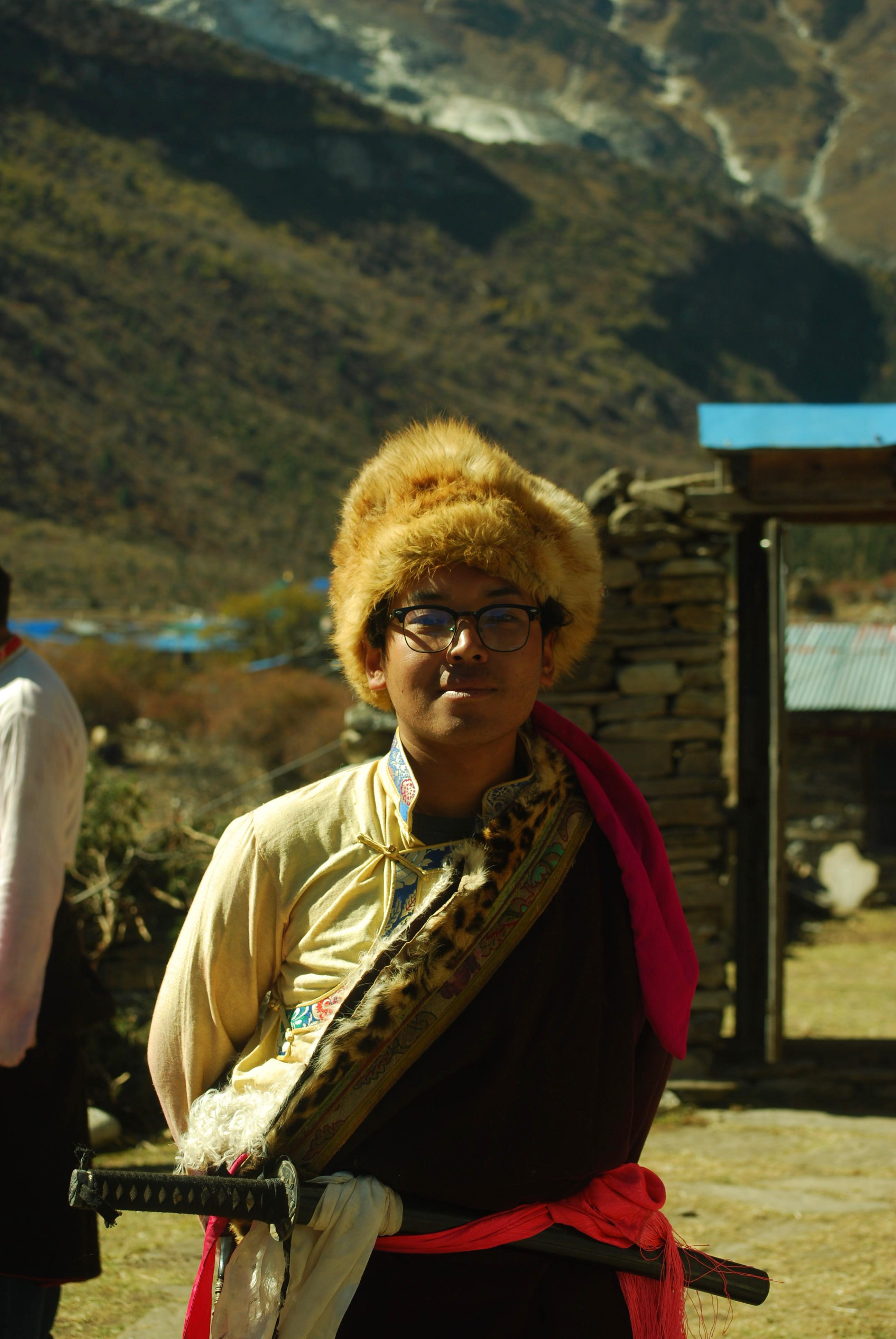
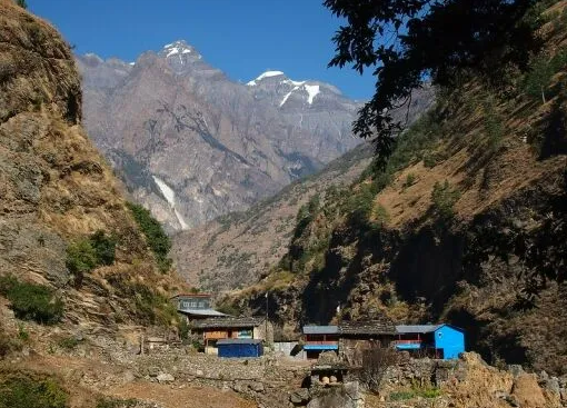
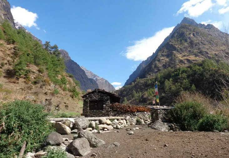
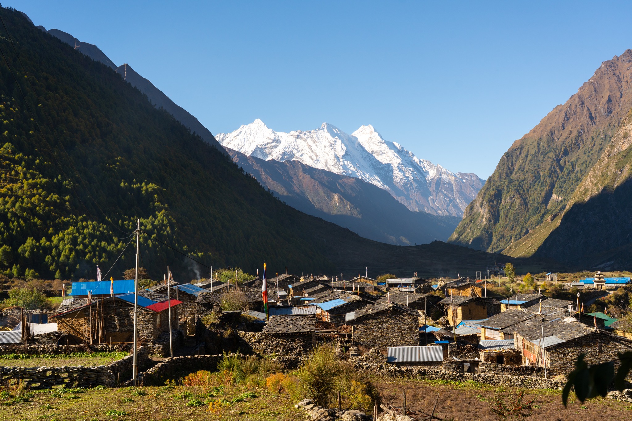
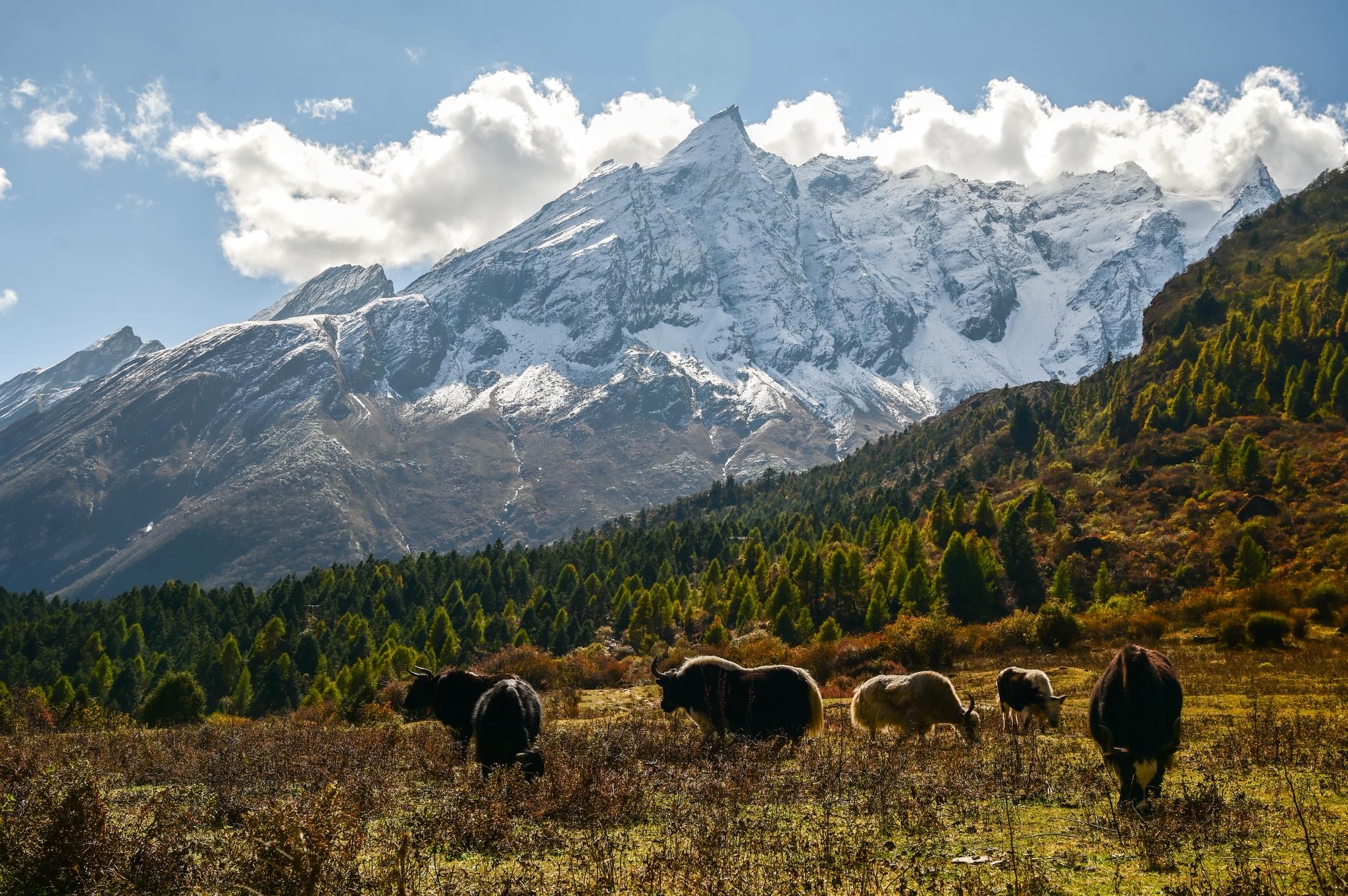
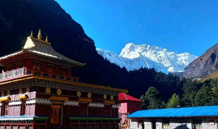
Walking north from the trailhead is a walk through three cultures in about four days. The lower gorge is Hindu hill country, Gurung and Magar, with terraced maize and rice and slate roofs. Somewhere above Jagat the mani walls start. By Deng the villages are Buddhist and Tibetan in origin, the roofs are flat, and the crop is barley and potatoes. This is Nubri.
East of Chhikur a side valley climbs away towards the border and opens into Tsum, which is a separate world again with its own dialect, its own monasteries and a formal vow against killing.
The Manaslu Conservation Area was declared on 28 December 1998 and covers 1,663 square kilometres. It is administered across seven wards of Tsumnubri Rural Municipality: Sirdibas, Chumchet, Chhekampar, Bihi, Prok, Lho and Samagaun. Nubri is the north-western part, taking in Samagaun, Lho and Prok. Tsum is the north-eastern part, Chumchet and Chhekampar.
Two things kept this region as it is. The first is that it was closed to foreign trekkers entirely until 1991, later than almost anywhere else in Nepal, because of its position on the Tibetan border. The second is that it is still a restricted area today, which means no independent trekking, a licensed guide on every party, and a permit that costs enough to keep the numbers down. The result is a valley that looks the way people imagine Nepal looked before the roads.
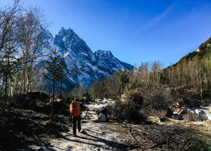
That is changing at the edges. The jeep road has climbed the Budhi Gandaki as far as Machha Khola and sometimes beyond, and the lower stages that people used to walk are now often driven. Above Jagat, though, the trail is still a trail, and the mule trains still have right of way.
- Eighth-highest mountain on earth, 8,163 m, first climbed May 1956
- Restricted area: licensed guide required, no independent trekking
- Opened to foreign trekkers only in 1991
- Two valley systems: Nubri to the north-west, Tsum to the north-east

Three ways to walk Manaslu.
Everything on these pages is walked on one of our journeys. Start with the three we are asked about most.
Ready to walk?
Tell us your dates and pace. A journey designer replies within two days.