The high points.
Manaslu, Himalchuli, Ngadi Chuli and the Ganesh range, seen from three passes and a handful of high pastures.
- Manaslu
- 8,163 m
- Himalchuli
- 7,893 m
- Larkya La
- 5,106 m
- Rui La
- 4,998 m
- Rupina La
- 4,720 m
- Thorong La
- 5,416 m
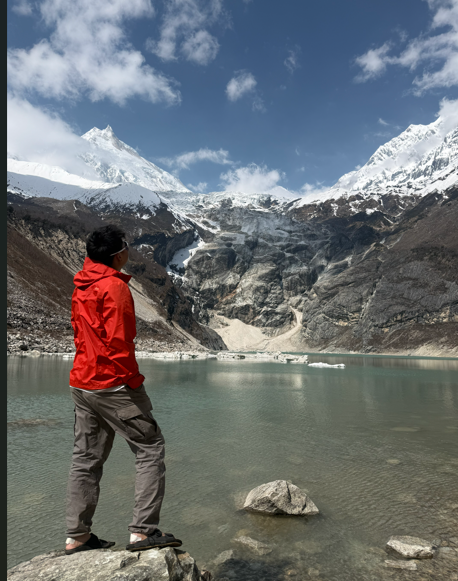
Manaslu is the eighth-highest mountain in the world at 8,163 metres, and from the trail it behaves unusually. Most eight-thousanders keep their distance behind foothills. This one stands almost directly above Samagaun, close enough that the village and the north face share a horizon, and close enough that avalanches on the glacier are audible from the lodges at night.
It was first climbed on 9 May 1956 by Toshio Imanishi and Gyalzen Norbu, on the fourth Japanese attempt in five years. Gyalzen Norbu had summited Makalu the year before, making him the first person to climb two eight-thousanders. Manaslu is now a commercial climbing peak with a base camp above Birendra Lake, and in autumn you will share the lower trail with expedition loads.
Himalchuli at 7,893 metres and Ngadi Chuli at 7,871 metres complete the massif to the south. They are rarely climbed and, from most of the circuit, more visually dramatic than Manaslu itself because you see them from lower down. To the east, across the Budhi Gandaki, the Ganesh Himal forms the wall that Tsum sits beneath.
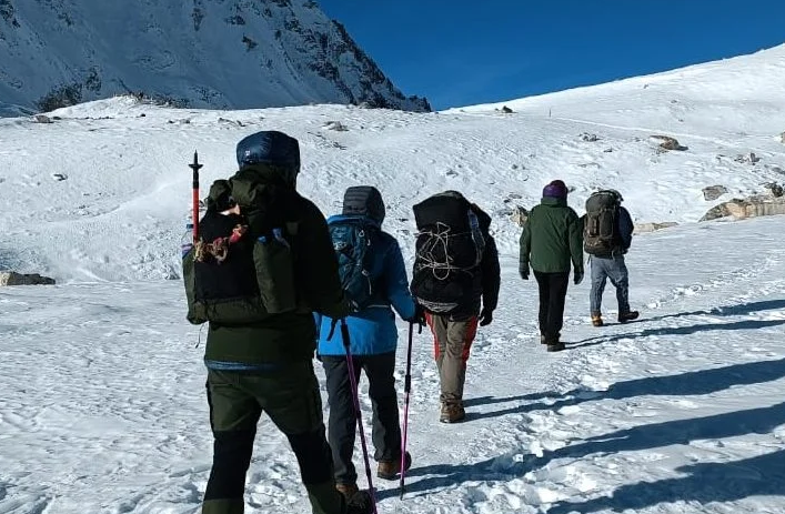
The Larkya La at 5,106 metres is the crux of the circuit and the only pass most trekkers cross. It is not technical. It is a long, gradual, high-altitude walk over moraine and old snow, started in the dark, followed by a steep and frequently icy descent on the western side towards Bimthang. Weather is the real variable: the pass is exposed, the wind gets up through the morning, and it can close with snow from November onwards.
The Rui La at 4,998 metres is a different proposition, a day walk from Samdo to the Tibetan border and back with no pass crossing involved. It is a good acclimatisation outing and a genuinely strange place to stand, on an old trade route with prayer flags on both sides of a line drawn much later.
The Rupina La at 4,720 metres is the wild card, a camping approach from Barpak on the southern side that almost nobody uses. There are no lodges. It is a real expedition and we run it rarely.
The Thorong La at 5,416 metres belongs to the Annapurna Circuit rather than this one, but it appears here because the Manaslu Circuit ends at Dharapani, which is on the Annapurna trail. A small number of people link the two.
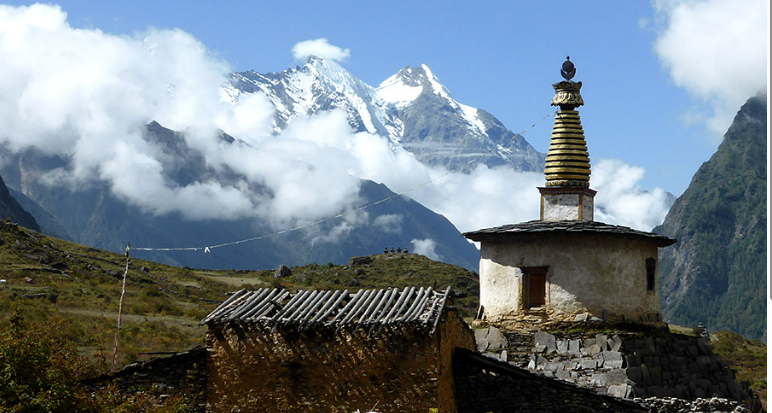
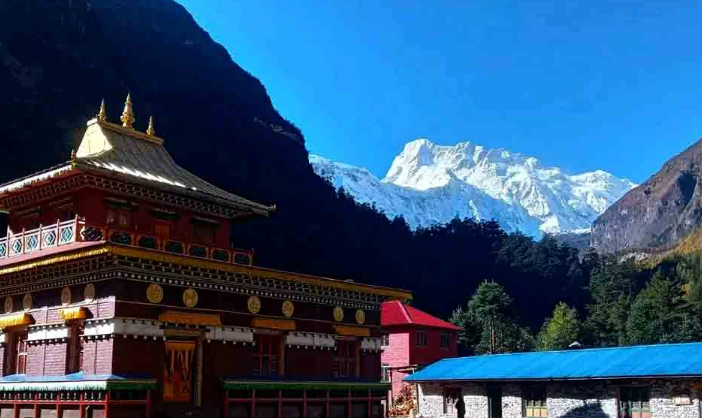
The other high points worth naming are not passes. Birendra Lake at around 3,450 metres sits in the moraine below the Manaslu glacier, an hour above Samagaun, and is the standard acclimatisation walk. Manaslu Base Camp, about 4,800 metres, is the harder option on the same rest day. Pungyen Gompa sits on a shelf east of Samagaun with the mountain filling the view behind it.
- Manaslu · 8,163 m · eighth highest, first climbed 9 May 1956
- Himalchuli · 7,893 m and Ngadi Chuli · 7,871 m, both rarely climbed
- Larkya La · 5,106 m · not technical, but long, cold and exposed
- Birendra Lake · ~3,450 m and Manaslu Base Camp · ~4,800 m, both from Samagaun
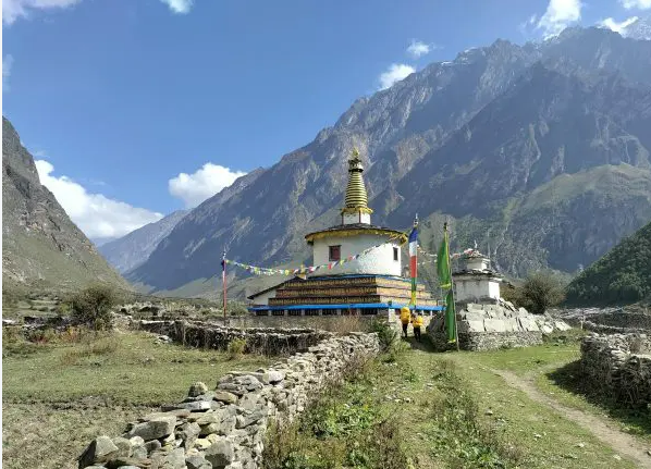

Three ways to walk Manaslu.
Everything on these pages is walked on one of our journeys. Start with the three we are asked about most.

Ready to walk?
Tell us your dates and pace. A journey designer replies within two days.