Manaslu Circuit Trek
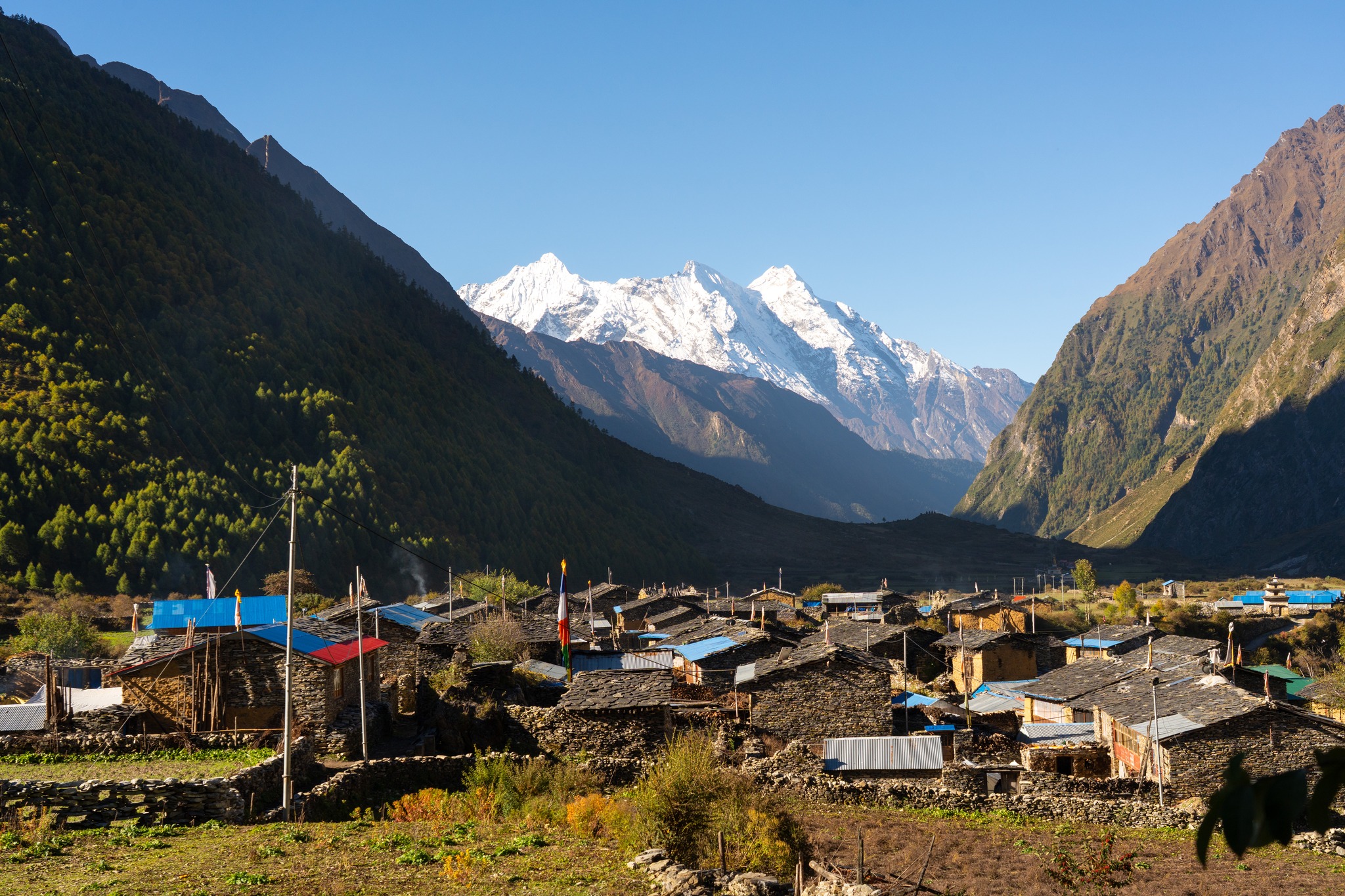
Two weeks around the eighth-highest mountain on earth, on a trail that still carries more mules than trekkers. The Budhi Gandaki gorge gives way to Nubri villages, then to the high pastures below Manaslu and the long crossing of the Larkya La.
You walk at a pace that leaves room for the monasteries at Lho and Samagaun, and for a rest day beside the glacier before the pass.
Each morning begins with twenty minutes of sitting before breakfast. At Lho and Samagaun you attend the evening puja, and the rest day is kept empty on purpose.
A licensed guide from the Gorkha district on every departure
Two to ten walkers, one porter for every two
Breakfast, lunch and dinner on every trekking day
- Highest point
- 5,106 m · Larkya La
- Grade
- Demanding
- Best season
- Mar – May · Oct – Nov
- Starts and ends
- Kathmandu
Touring Information
- The Budhi Gandaki gorge from Machha Khola to Jagat
- Nubri villages of Lho and Samagaun beneath Manaslu's north face
- A rest day walk to Pungyen Gompa or Manaslu Base Camp
- Crossing the Larkya La at 5,106 m
- Descent through Bimthang's rhododendron forest into the Marsyangdi
Arrive and meet your guide over dinner. Permits are checked this evening.
A long drive west through Arughat and along the Budhi Gandaki.
Hot springs at Tatopani, then the first suspension bridges of the gorge.
Into the Manaslu Conservation Area. Chortens mark the change to Buddhist country.
Steep forest and the first views of Ganesh Himal.
Ribung Gompa above the village. Manaslu fills the evening sky.
A short, open day across the pastures to the largest Nubri village.
Walk to Pungyen Gompa or Manaslu Base Camp, then sit.
A gentle rise to the last village before the pass.
Half a day of walking, half a day of resting for tomorrow.
A pre-dawn start. The pass, then a long descent to camp among the moraine.
Down through forest and past Gowa to the Marsyangdi.
Drive out via Dharapani and Besisahar.
Transfer to the airport.
Breakfast, lunch and dinner are included on every trekking day. Kathmandu nights include breakfast.
- Licensed, English-speaking local guide from the Gorkha district
- Porters at one per two trekkers, loads capped at 20 kg
- Manaslu Conservation Area and restricted-area permits
- Teahouse accommodation on trail, twin share
- Breakfast, lunch and dinner on every trekking day
- Private transport Kathmandu – trailhead – Kathmandu
- Two nights in Kathmandu, breakfast included

Permits and paperwork
Yes, and it is not optional. The upper Manaslu valley is a restricted area, and the restricted-area permit can only be issued to a group of two or more trekkers travelling with a licensed guide through a registered Nepali agency. You cannot obtain one as an independent walker, and there is a checkpoint at Jagat where it is inspected. Solo trekkers are paired into a group before departure.
Three. The Manaslu Restricted Area Permit is US $100 per person for the first seven days from September to November, then US $15 for each additional day; from December to August it is US $75 for the first seven days and US $10 a day after. The Manaslu Conservation Area Permit is NPR 3,000 (about US $25), and because the trail finishes inside the Annapurna region you also need the Annapurna Conservation Area Permit, another NPR 3,000. We arrange all three; they are quoted separately from the trip price because the restricted-area fee depends on your dates and how many days you spend above Jagat.
The restricted-area permit is issued against your passport, so we need a scan of the photo page and two passport photographs before we can apply. Permits are issued in Kathmandu and cannot be applied for from the trailhead, which is why we ask for these at least a fortnight before departure.
You should not walk this trail without it, and it needs to cover trekking to the altitude you will reach as well as helicopter evacuation. Above Samagaun there is no road, and the only way off the mountain quickly is by air. Ask us what the policy needs to say if you are unsure — it is a question we answer most weeks.
Altitude and difficulty
The Larke La is 5,106 m, and crossing it is the hardest day of the trek: a long ascent starting before dawn from Dharamsala at about 4,460 m, then a descent of more than 1,500 m to Bimthang on the far side. It is not technical — there is no rope, no crampons in a normal autumn — but it is a very long day at altitude, often in wind, sometimes in snow. If you have walked to 4,000 m before and were comfortable, you will manage it.
The trail climbs from about 900 m at Machha Khola to 5,106 m at the pass, and our days are built around the standard guidance: no more than about 500 m of sleeping altitude gained per day once above 3,000 m, and a rest day roughly every 1,000 m. The acclimatisation day at Samagaun is walked rather than spent lying down — up towards Pungyen Gompa or Birendra Lake and back down to sleep, which is what actually helps.
Your guide checks how everyone is each evening, and the answer to worsening symptoms is always the same: go down. The valley loses height quickly, so descending is usually a matter of hours rather than days. Where it is not — above Samdo, on the approach to the pass — evacuation is by helicopter, which is why the insurance question above is not a formality.
Fit enough to walk five to seven hours a day, day after day, on uneven ground, carrying a daypack. The distances are not extreme; the accumulation is. Hill walking with a pack in the months before you come is worth more than any amount of gym work.
Seasons and weather
October and November are the clearest and most settled, with cold nights high up and reliable views of Manaslu. March to May is the other season: warmer nights, rhododendron in the middle valley, and more afternoon cloud. The monsoon from June to August makes the lower gorge leech-ridden and the road to the trailhead unreliable, and deep winter closes the pass.
It happens, most often in late autumn and early spring, and it is a decision your guide makes on the ground with the lodge keepers at Dharamsala rather than one taken in Kathmandu. When the pass cannot be crossed safely the group returns down the valley the way it came, which is a longer walk out and a different trek from the one you booked — but it is the only answer we will give to that question.
At Dharamsala, the last stop before the pass, expect nights around −10 °C in late autumn and colder in winter. Lower down, below Namrung, it is mild. The full gear list we send after booking is written for the coldest night, not the average one.
On the trail
Every journey begins and ends in Kathmandu. The drive to Machha Khola takes eight to ten hours by private jeep on a road that is paved for the first half and not for the second. The return from Dharapani or Besisahar is similar. There is no flight to the trailhead.
In teahouses — family-run lodges in the villages along the trail. Twin rooms with a shared bathroom for most of the route; simpler and colder the higher you go. Nothing on this trail is a hotel, and that is much of the point.
Patchy in the lower valley and effectively absent above Namrung. A few lodges sell wifi by the hour when their solar has held up. We treat the quiet as part of the journey rather than a problem to solve, and we tell families at home to expect several days of silence.
Most lodges charge devices for a small fee, from solar. It is slower and less reliable the higher you go, so bring a power bank, and keep batteries in your sleeping bag on the cold nights — they lose charge fast at −10 °C.
We do not buy bottled water above Jagat, because there is no way to take the plastic back out of the valley. Boiled water is available at every lodge and we carry filters. Bring a bottle that can take boiling water.

Every journey is shaped with you before it is booked.
Tell us your dates, your pace, and what you hope to leave behind. A Journey Designer writes back within two days.
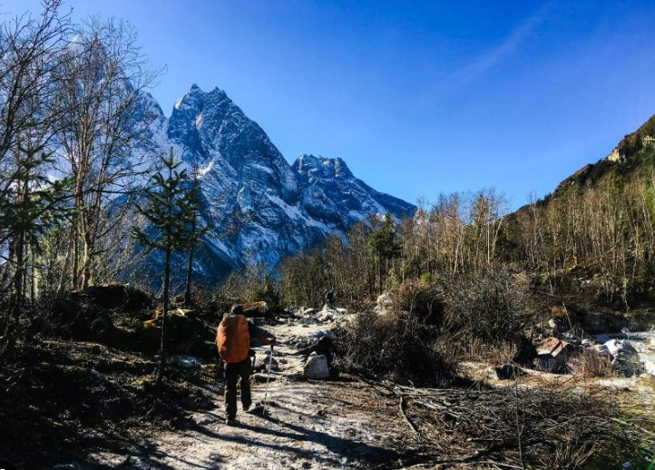
Soul to Summit – A Mindful Journey to Serang and Pungyen
Walk the ancient trails of Nubri, where the Himalayas hold stories of faith, stillness, and timeless wisdom.
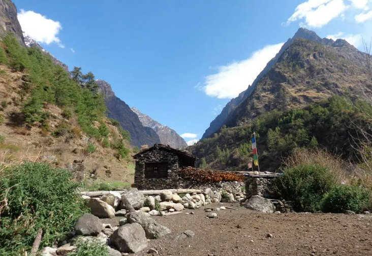
Ethno-Eco Trek: The Himalayan Lab
A trek designed for university students researching Himalayan ecology or Himalayan culture, and for the field visits their courses ask of them.
Tsum Valley Trek
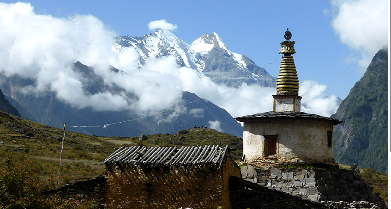
A hidden valley on the Tibetan border, closed to visitors until 2008 and still bound by a vow against killing animals.