The trail around the mountain.
Roughly 177 kilometres from Machha Khola to Dharapani, crossing the Larkya La at 5,106 m and joining the Annapurna Circuit at its end.
- Distance
- ~177 km
- Days
- 12 – 16
- Pass
- Larkya La · 5,106 m
- Sleeping high point
- Dharamsala · 4,460 m
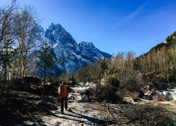
The Manaslu Circuit is a horseshoe rather than a loop. It goes up one river and down another, crossing between them at the Larkya La, and it finishes on a different road from the one it started on. Walked anticlockwise, which is the only sensible direction, it climbs from about 900 metres at the trailhead to 5,106 metres at the pass over roughly nine days, then loses almost all of that in two.
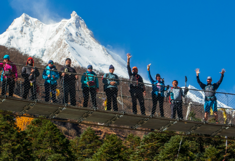
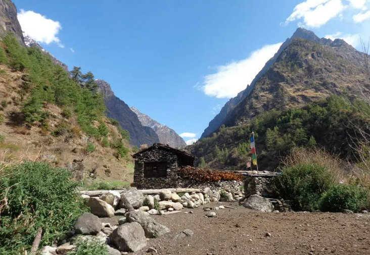
Stage one, days one to four, is the gorge. Machha Khola, Jagat, Deng, Namrung. This is hot, humid, forested walking with a great deal of suspension bridge, and it is the part people underestimate. There is more ascent and descent in the lower gorge than the elevation profile suggests, because the trail keeps climbing over spurs and dropping back to the river. The hot springs at Tatopani are on this stretch.
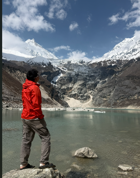
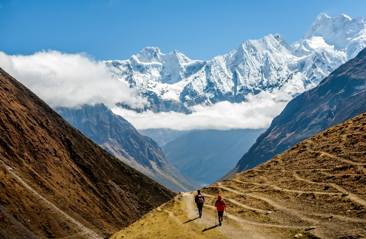
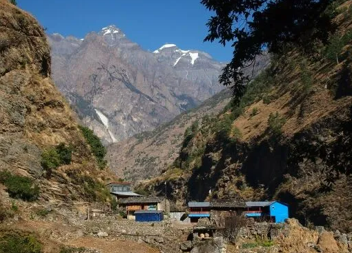
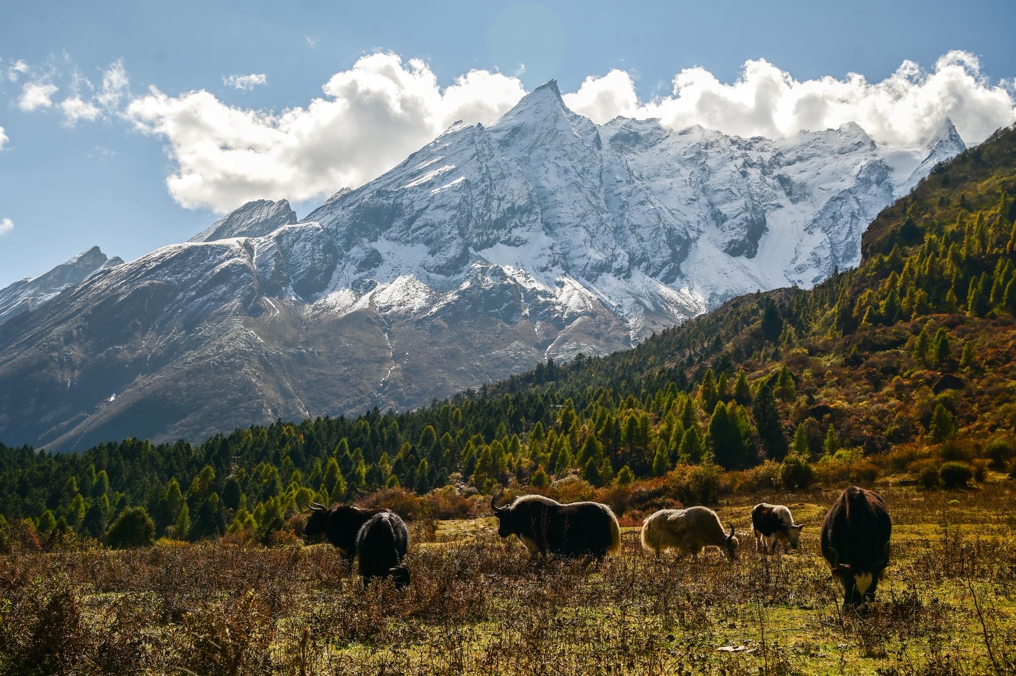
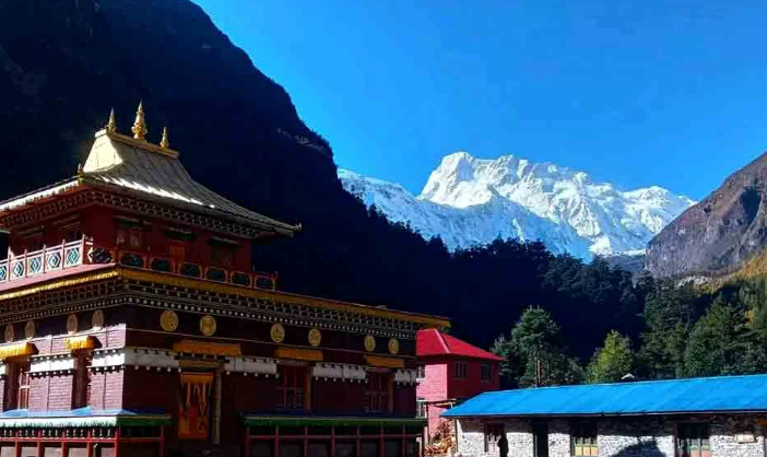
Stage two, days five to eight, is Nubri. Above Namrung the valley opens, the air dries out, and Manaslu appears properly for the first time. Lho at around 3,180 metres has Ribung Gompa and the best evening view on the route. Samagaun at 3,530 metres is the acclimatisation stop, and it is where the trek stops being a walk through scenery and starts being a stay in a place. Samdo, an hour or two higher, is the last permanent village before the pass.
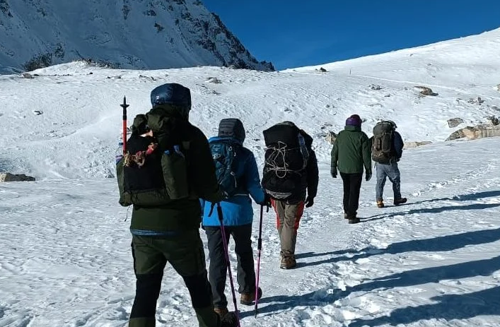
Stage three is the pass. From Samdo the trail climbs to Dharamsala, also called Larkya Phedi, at about 4,460 metres. It is a cold, basic, single-purpose place and nobody enjoys the night there. The crossing starts between three and four in the morning, takes most groups six to nine hours, and involves a long gradual climb over moraine followed by a steep and often icy descent on the western side.
Stage four is the drop to Bimthang and out through Tilije to Dharapani on the Marsyangdi, where the route joins the Annapurna Circuit. Most people find the descent from the pass harder on the legs than the ascent was on the lungs.
Anticlockwise matters. Walked in this direction the gain is gradual over more than a week, which is what makes the altitude manageable, and the steepest ground on the pass is taken downhill. Reversed, you would be climbing 1,600 metres of steep moraine to reach a pass you had not acclimatised for. Nobody sensible does it.
The circuit is commonly combined with the Tsum Valley, which adds around six days as a side journey from Chhikur before rejoining the main trail. It can also be extended over the Thorong La into the Annapurna Circuit proper, though few people have the legs for both passes in one trip.
- Days 1 – 4 · the gorge · Machha Khola to Namrung · hot, forested, more climbing than it looks
- Days 5 – 8 · Nubri · Lho, Samagaun, Samdo · the mountain comes into view
- Days 9 – 10 · the pass · Dharamsala 4,460 m, Larkya La 5,106 m · a pre-dawn start
- Days 11 – 14 · the descent · Bimthang to Dharapani and the Marsyangdi

Three ways to walk Manaslu.
Everything on these pages is walked on one of our journeys. Start with the three we are asked about most.

Ready to walk?
Tell us your dates and pace. A journey designer replies within two days.